Gary White

I am a Senior GIS Analyst at JSJ7 where I am responsible for creating 3D terrain-based simulations for the military to train with.
Huntington Ingalls
Suffolk, VA
View My LinkedIn Profile
My Portfolio
My Projects
Family Properties
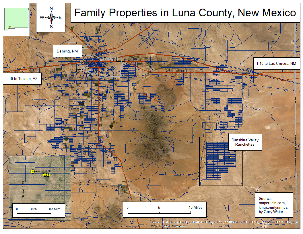
 This was a personl project requested by one of my uncles. His father had left him and his sisters three properties in southern New Mexico that he wanted found and mapped. This map
created to show those locations using a basemap from ESRI ArcMap.
Three Minute Thesis
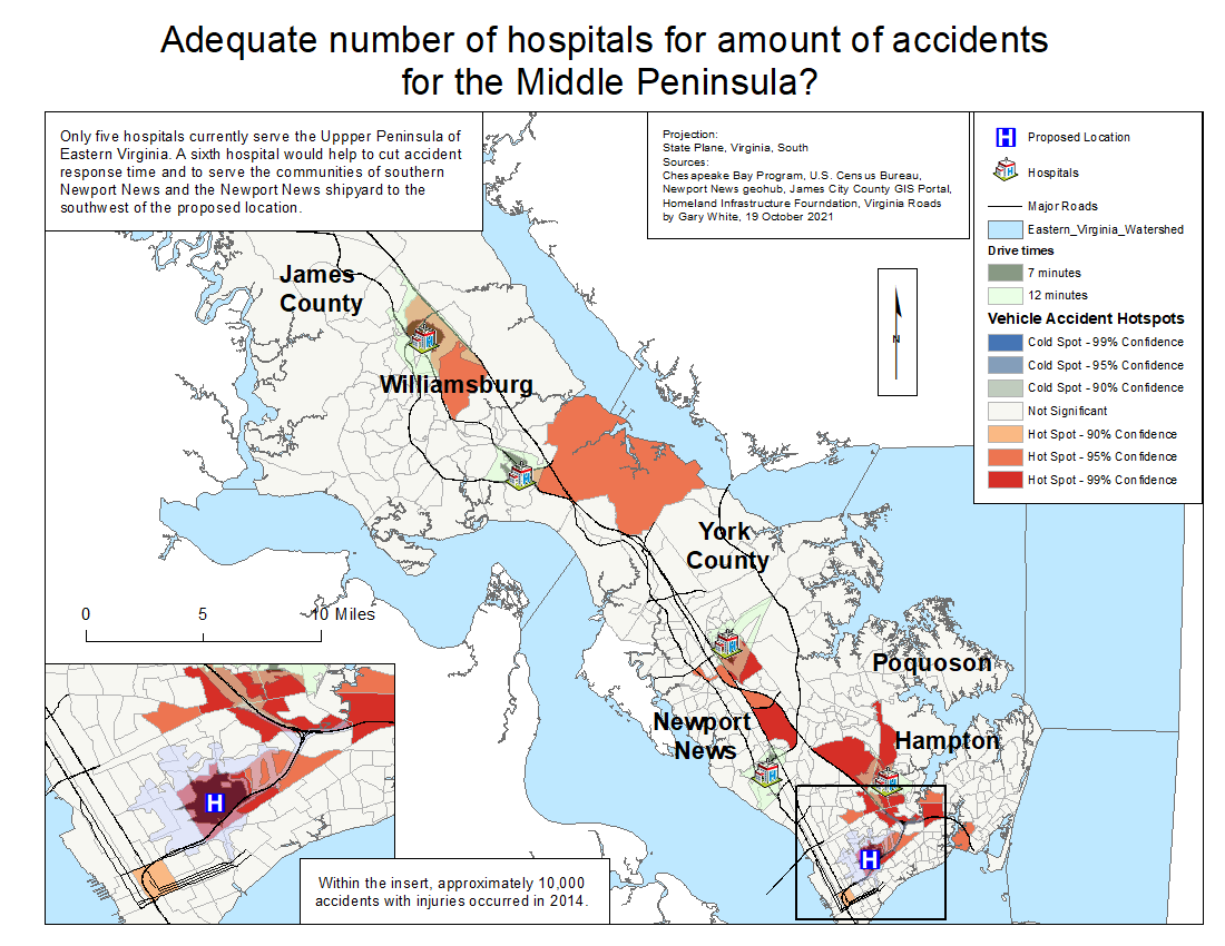
 This was a three minute thesis given as my final project in GIS Applications. The premise was to find out if there were enough hospitals for the number of accidents with injuries
on the middle peninsula of eastern Virgina. After conducting a hotspot analysis and drive time network analysis, a hole in the 7 to 12 minute response time for ambulances was
found in southern Newport News, VA.
SW Japan Island
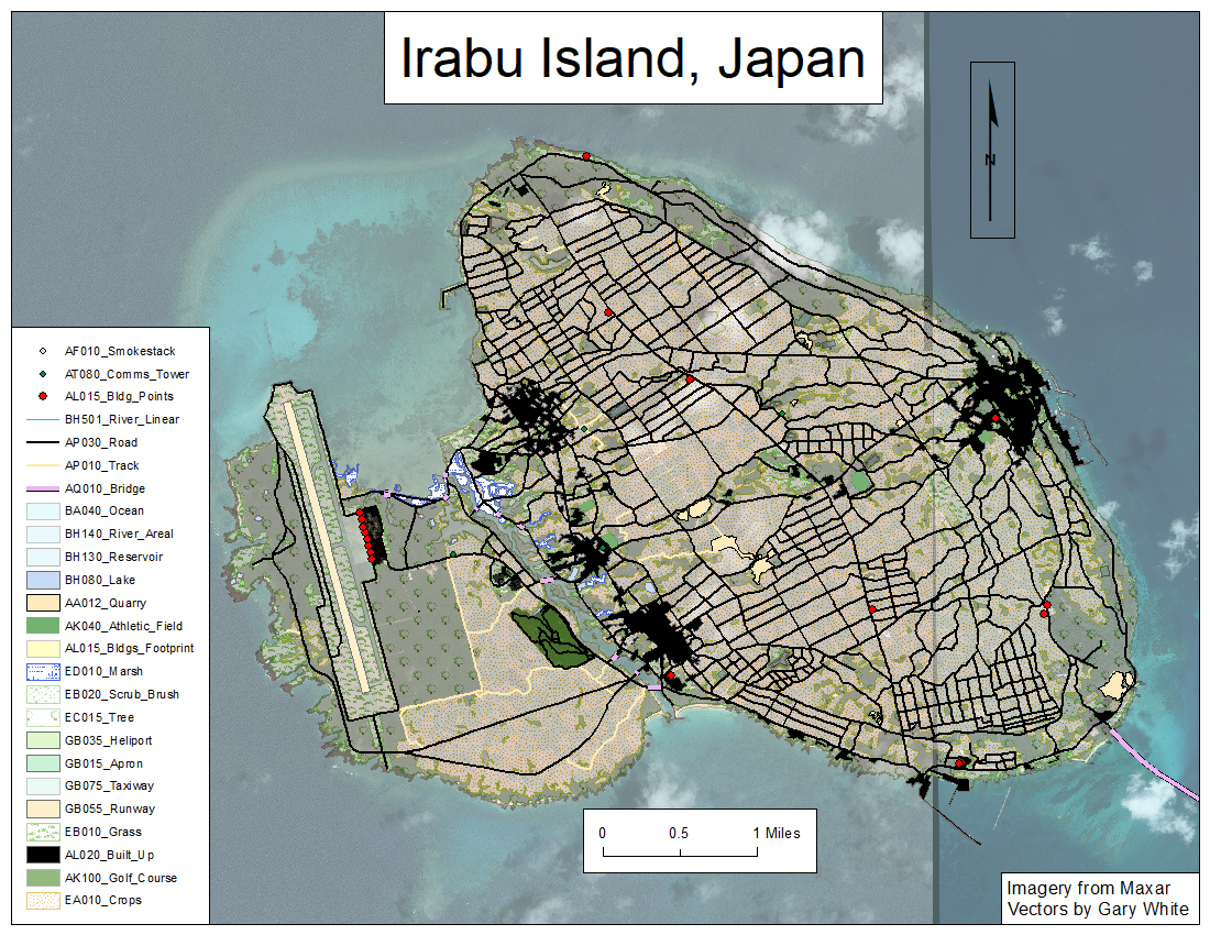
 This map is one of the southwestern islands of Japan. This map shows the number of shapefiles dervied from surface features that can go into a project at my job.
Proposed Bypass
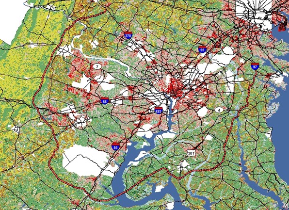
 This is from my capstone project for my Bachelor’s Degree. The red route is a proposed bypass to reroute heavy traffic around the Northern Virginia and Washington D.C. area.
Route to Work
This is a map based on one of the first assignments given to me from my instructor in my GIS Fundamentals class. He wanted a map of my route to work with all of the major intersections. The route (line) and the intersections (points) were then digitized for the project.
Santa Rosa Fire
This map was created in Google Earth Engine as a part of Fundamentals in Remote Sensing course I took for my Master’s Degree. Its shows the land north of Santa Rosa before and after the major fire of 2018, using Short Wave Infrared Imagery (SWIR). dNBR, or Normalized Burn Ratio, can also be used to differentiate the areas of burned vegetation and normal vegetation.